Dostava
Savjetnik za kupnju


Proizvod vam ne odgovara? Nema veze! Možete nam vratiti unutar 30 dana
 Poklon bon
u bilo kojoj vrijednosti
S poklon bonom ne možete pogriješiti. Za poklon bon primatelj može odabrati bilo što iz naše ponude.
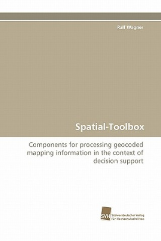
Spatial-Toolbox
 Engleski
 271 b
271 b
30 dana za povrat kupljenih proizvoda
Moglo bi vas zanimati i


This dissertation provides an interdisciplinary contribution to the project ReGLaN-Health & Logistics. The aim of this international cooperation is the development of a SDSS that supports decision makers working within health systems with a special focus on rural areas. In this dissertation, one important component (SPATTB) is proposed and described in detail. For the development the manageability of the type of data exemplarily given by (x,y,o) with coordinates (x,y) and Ozon-concentration o is not sufficient. It is described, that the manageable data has to be extended to data of type (x,y,f), where f is not only a numerical value but a functional description of a certain phenomenom. In this coherence certain mappings, so-called fuzzy-sets, are regarded. These mappings will be used with respect to additional geocoded data. The knowledge about the geocoded mapping information only at a finite set of locations (x,y) associated with mapping information f is not sufficient in applications that need continuous statements. Methods from the field of computer geometry and CAD, so-called Bezier-methods, are used for interpolating this geocoded mapping information.
Informacije o knjizi
 Engleski
Kategorija


 Kako kupovati


