

 Kako kupovati
Dostava
Savjetnik za kupnju
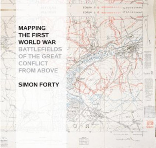
Mapping The First World War
 Engleski
 64 b
64 b
30 dana za povrat kupljenih proizvoda
Moglo bi vas zanimati i


 /
Meki uvez
/
Meki uvez
 53.29
€
53.29
€


This title features over 120 large-format illustrations present detailed and fascinating wartime cartography. Key battles such as the Somme, Mons, Gallipoli, Jutland and Ypres are given extensive coverage alongside fascinating detail pieces such as airship raids and stations, communication systems, Orders of Battle, railroad routes and battlefield medical stations. The approach also provides a detailed chronological history of the conflict and will appeal to military historians and family historians alike. The Great War was so devastating - eight million lives were lost globally - that in its aftermath a horrified world expected it to be the final chapter in armed conflict. Mapping The First World War provides a uniquely different perspective on the 'war to end all wars'. An introduction details the causes and progress of the war and is followed by over a hundred maps and charts that show the broad sweep of events, from Germany's 1914 war goals to the final positions of the troops. There are maps depicting movements and battles as well as related documents, such as those on levels of conscription and numbers of weapons. As in all wars, maps were vital to the military organization of all sides during World War I. Before each military event there was the planning, the reconnaissance, and the conjecture as to enemy positions. After the event there would be debriefing, analysis of success and failure, and a redrawing of maps to show new troop positions and boundaries. All of the maps featured in this book have been drawn from the extensive collection held by the National Archives at Kew in west London. Providing a fascinating and unique insight into the planning and organization of military campaigns, Mapping The First World War is essential for anyone interested in military history.
Informacije o knjizi
Engleski
